
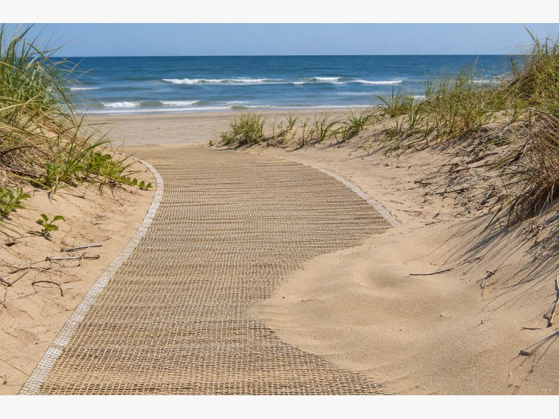
When you find sand on beach mats, check the affected section, its edges and its connections under the site's inspection procedure before describing the route as open. From the promenade, a covered strip can look continuous even when sand hides a lifted edge farther along. Record the exact location and give the responsible team enough information to make the next decision.
Why does sand on beach mats need a closer look?
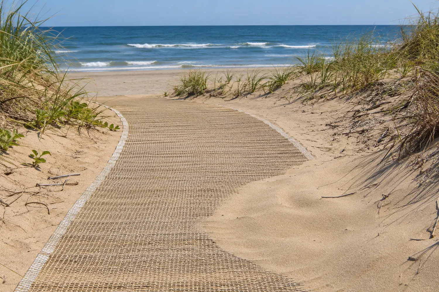
A layer of sand on beach mats can hide the travel surface, edges and joins that the inspector needs to see.
What can you tell from the entrance?
Locate the affected section. Start from an authorized observation point and follow the site's access and closure procedure. A broad photograph identifies the section, while a closer view shows what remains visible.
- Name the fixed landmark or section ID.
- Record the time and observed conditions.
| Review point | What to record |
|---|---|
| Overview | Where the cover begins |
| Detail | Which surface or edge is obscured |
Key Takeaway: A precise location lets the right team find the same problem.
What changed since the last route check?
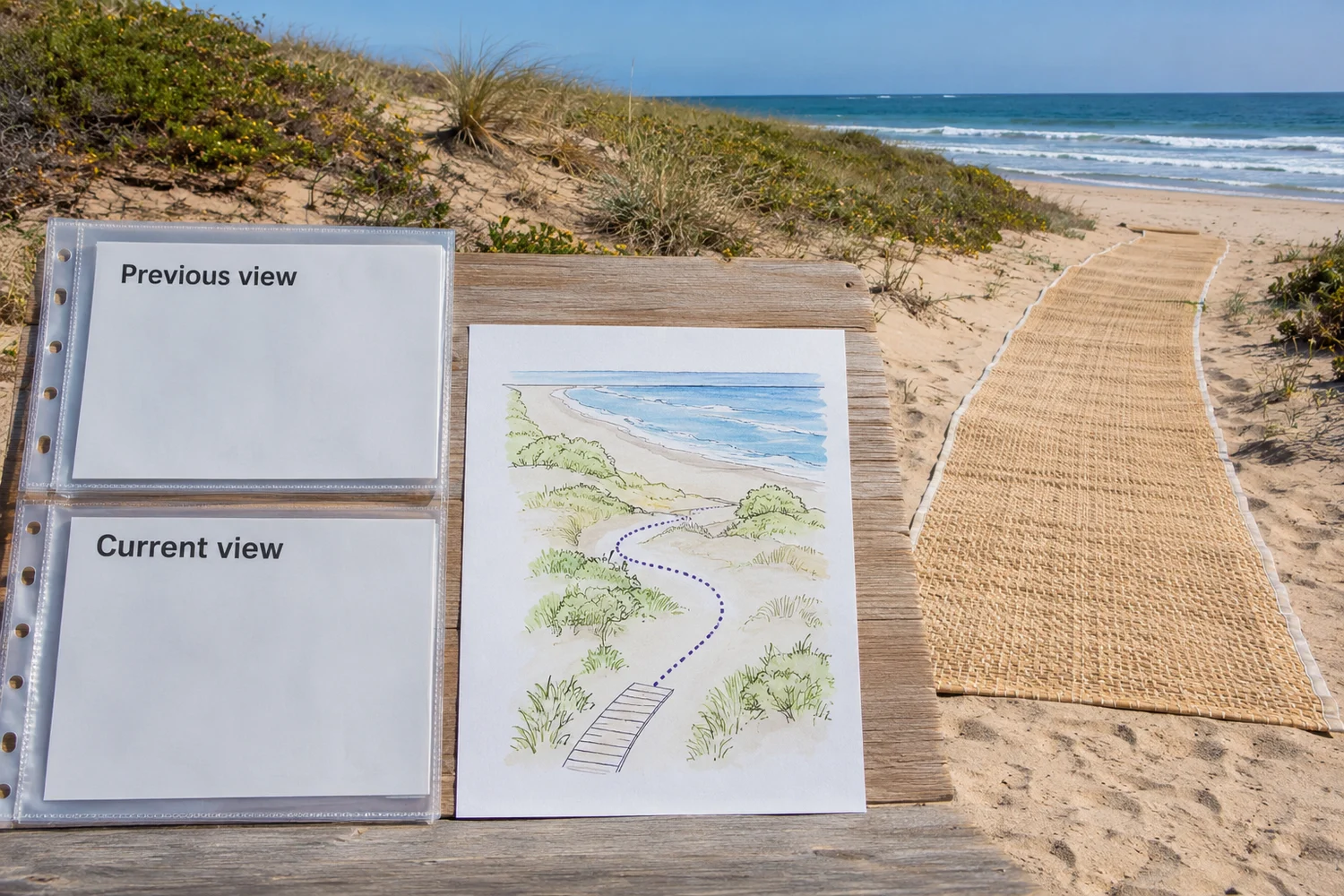
Compare today's sand on beach mats with the previous site record and note changes in exposure, deposition or shoreline conditions.
Is the old photo enough?
Use a repeatable viewpoint. A photo taken from the same landmark can show where the visible path has changed. The site team still needs to assess current conditions and any coastal restrictions that apply. The Bellerive Beach mat trial gathered observations across changing conditions.
- Use the same direction for before-and-current photos.
- Keep observations separate from suspected causes.
| Review point | What to record |
|---|---|
| Previous state | Date and reference view |
| Current state | Observed difference |
Key Takeaway: The record shows what changed without assuming why it happened.
Where should the inspector pay attention first?
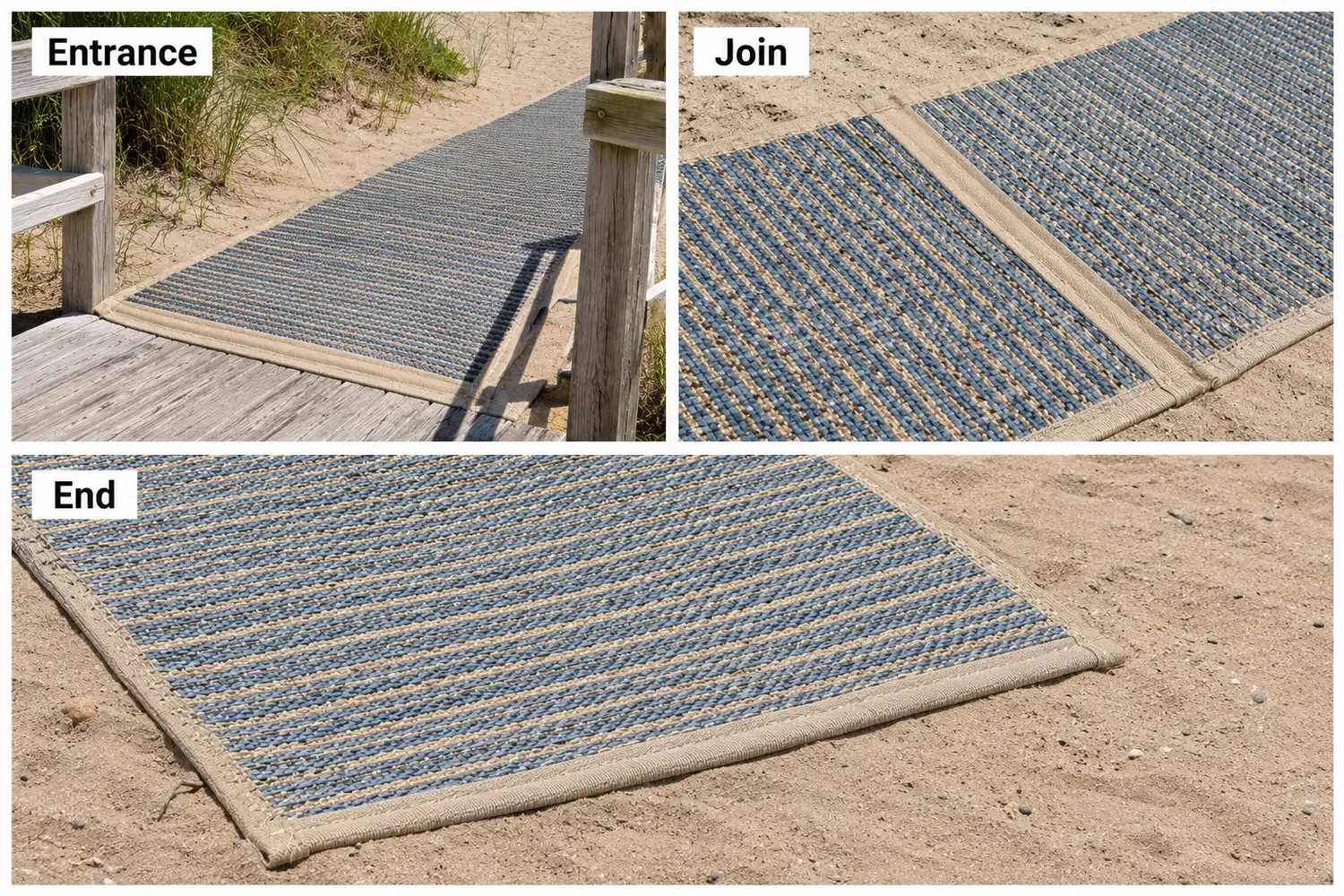
Use sand on beach mats as a prompt to check the route points most likely to hide a boundary or connection.
Which part cannot be seen?
Follow the section map. The entrance, a low spot, an end treatment or a junction may each need a different response. Report an obscured location even if the adjoining section looks clear.
- Mark the affected point on the plan.
- Record whether the edge, join or destination is visible.
| Review point | What to record |
|---|---|
| Location type | Entrance, join or end |
| Visibility | Visible or obscured |
Key Takeaway: A location-based record helps the team choose the appropriate inspection.
Who decides whether to restrict access?
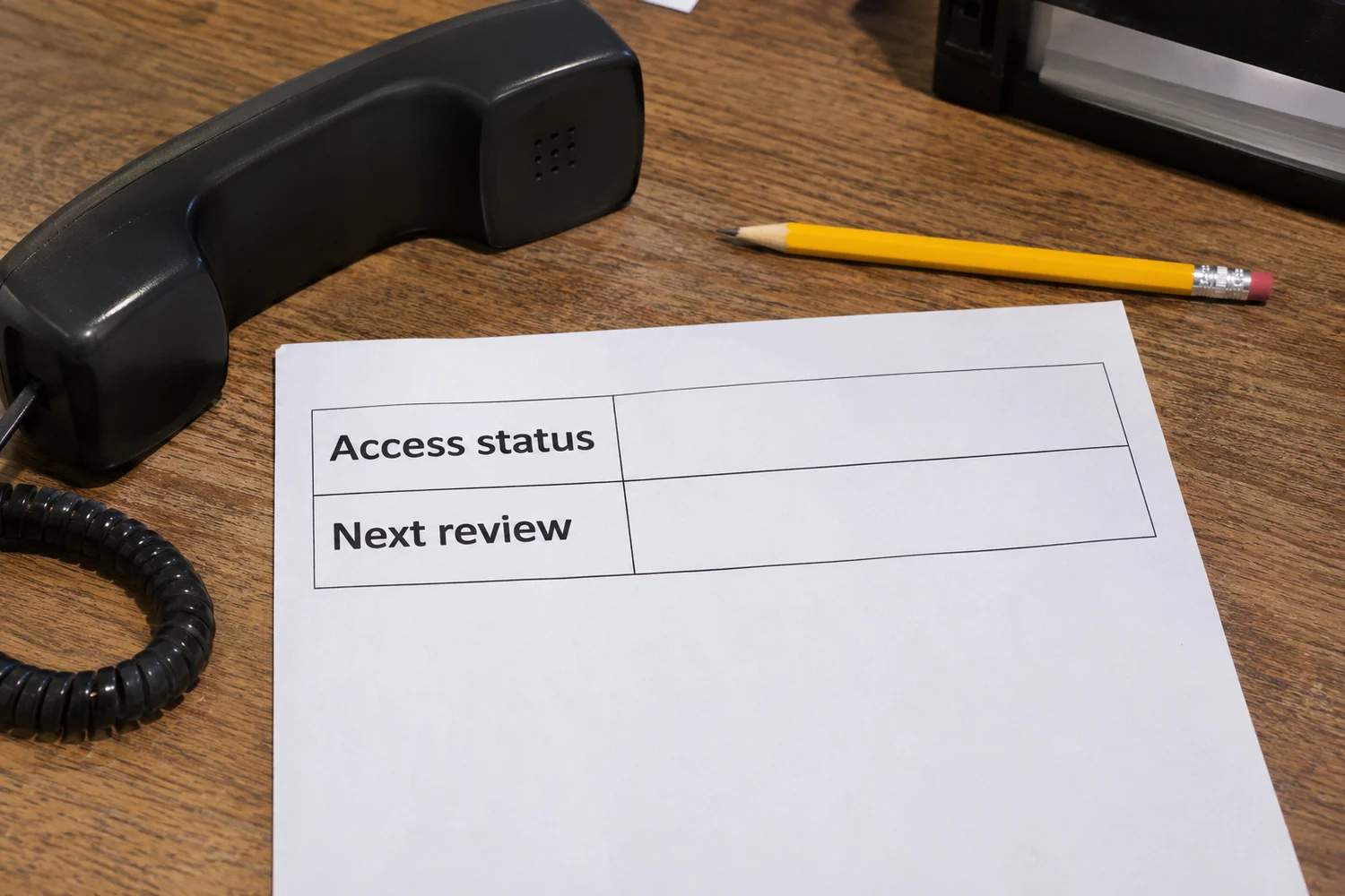
The authorized site manager decides how sand on beach mats affects route availability under the site's procedure.
What should the visitor desk do?
Use the current status. The person answering bookings may not be the person authorized to inspect or reopen the path. Give the desk a named contact and an accurate description of the available route.
- Record the status and decision time.
- Update all relevant entrances and information channels.
| Review point | What to record |
|---|---|
| Site lead | Restriction or reopening decision |
| Visitor desk | Current message for guests |
Key Takeaway: The public receives one consistent answer while the assessment continues.
Which removal method is appropriate?
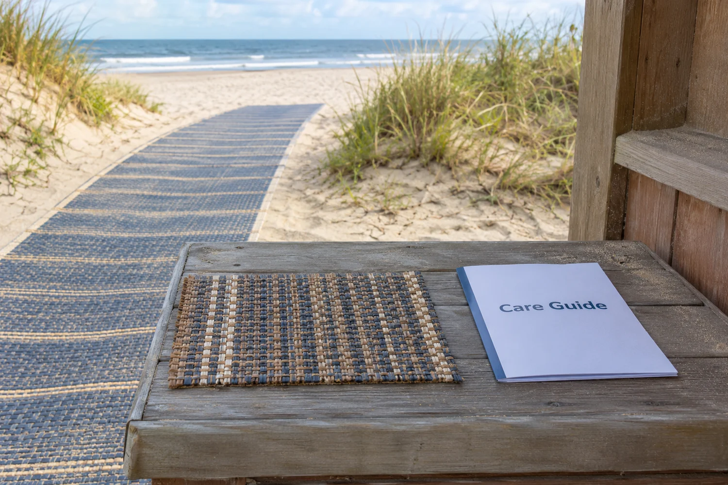
Choose a method for addressing sand on beach mats only after checking the product instructions, the site authorization and local environmental controls.
Can any tool be used?
Check the material and location. A method suitable for one mat or one managed beach may damage another surface or conflict with site rules. Ask who is permitted to act and where displaced material may go.
- Identify the system and its care guidance.
- Confirm the permitted work area and method.
| Review point | What to record |
|---|---|
| Product question | Compatible method |
| Site question | Authorization and environmental constraints |
Key Takeaway: The crew has a defined task before work begins.
What if an edge or join looks disturbed?

When sand on beach mats conceals a suspected change, keep the location under review until the authorized team can inspect the actual interface.
What should the report say?
Describe what is visible. Report an exposed edge, displaced-looking profile or obscured join in plain language. Avoid guessing an anchor setting or attempting to prove stability by driving a wheelchair over it.
- Take an identifying photo if safe and permitted.
- Request the appropriate technical review.
| Review point | What to record |
|---|---|
| Observed detail | Visible condition |
| Open question | What the reviewer still needs to check |
Key Takeaway: A factual report supports a decision without turning a guest into a test rider.
How should the destination be checked?
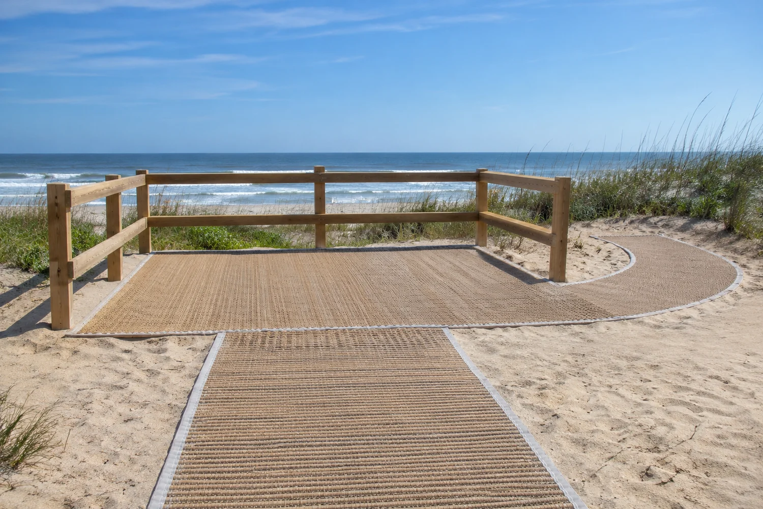
After sand on beach mats changes the route, verify the condition at the intended destination as well as along the main strip.
Can visitors use the endpoint?
Look beyond the last visible metre. A clean central run may lead to an endpoint covered by newly deposited sand. Ask the site lead whether the destination and return path remain available under the current plan.
- Record the endpoint landmark.
- Include the return direction in the review.
| Review point | What to record |
|---|---|
| Outward route | Condition to the destination |
| Return route | Condition back to the entrance |
Key Takeaway: Visitors can plan the full outing from information about both ends.
What evidence should support reopening?
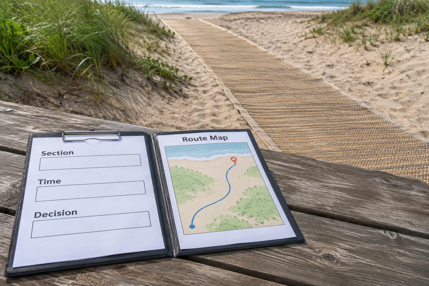
Reopening after sand on beach mats should follow the venue's defined checks and sign-off process.
Who reviewed the finished condition?
Keep the decision traceable. Use the current layout, applicable product instructions and any required site inspection. Keep unresolved items visible and record the person responsible for the final status.
- Record the reviewed section and time.
- Retain any follow-up work or restriction.
| Review point | What to record |
|---|---|
| Reviewed condition | What was checked |
| Decision record | Authorized person and status |
Key Takeaway: The reopening notice can be tied to a specific review.
What should you tell a guest before arrival?
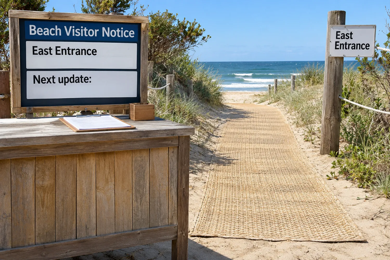
Communicate how sand on beach mats affects the particular entrance, destination and service available at the time of the enquiry.
Which message helps someone decide?
Use landmarks and times. For example, say that the east access route is under review and give the time of the next update. Offer an alternative only after checking its current availability and suitability through the site team.
- Name the affected entrance.
- Provide a contact and update time.
| Review point | What to record |
|---|---|
| Current message | Observed route status |
| Alternative | Confirmed option if available |
Key Takeaway: Guests can decide whether to change their plans before making the journey.
How can operators improve the next inspection?
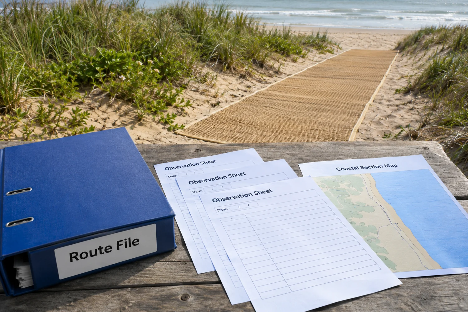
Use repeated observations of sand on beach mats to improve the section map, contact list and inspection schedule with the site manager.
Which records reveal a pattern?
Compare like locations. A dated series of reports can show which locations repeatedly need attention. Discuss those observations with the responsible designer and supplier before changing the layout or equipment.
- Group reports by section reference.
- Send unresolved product questions to the supplier.
| Review point | What to record |
|---|---|
| Site record | Repeated observed condition |
| Supplier enquiry | Defined equipment question |
Key Takeaway: A dependable access service gives visitors a route status they can act on. Contact us with your route and equipment questions when planning how beach mobility devices will be offered at the site.
Frequently asked questions
Q1: Can guests use a partly buried mat if the middle looks clear?
Ask the site operator for the current route status. Visible central material does not settle the condition at edges and joins.
Q2: Should staff use a beach wheelchair to test an uncertain section?
No. Follow the site's inspection procedure and obtain the responsible team's decision.
Q3: How do I know who may clear the sand?
Check the venue's authorization, supplier guidance and applicable coastal-management requirements.
Q4: What's the best detail to include in a report?
Give the section or landmark, time and a clear description of the part that is covered or disturbed.
Q5: Does a reopened entrance confirm the whole route is open?
Confirm the full destination and return path. A notice should identify the section it covers.